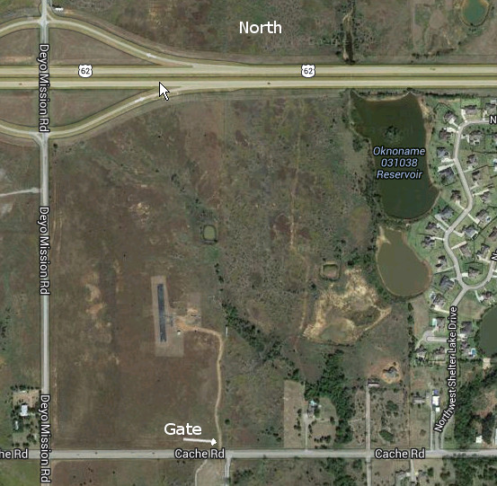
The field is located at the corner of Deyo Mission Road and NW Cache Road west of Lawton. The gate is at the southeast corner of the field. The exit off of Highway 62 is marked as Deyo Mission Road.
(click on the image below to open a Google Maps page to the location of the Gate)
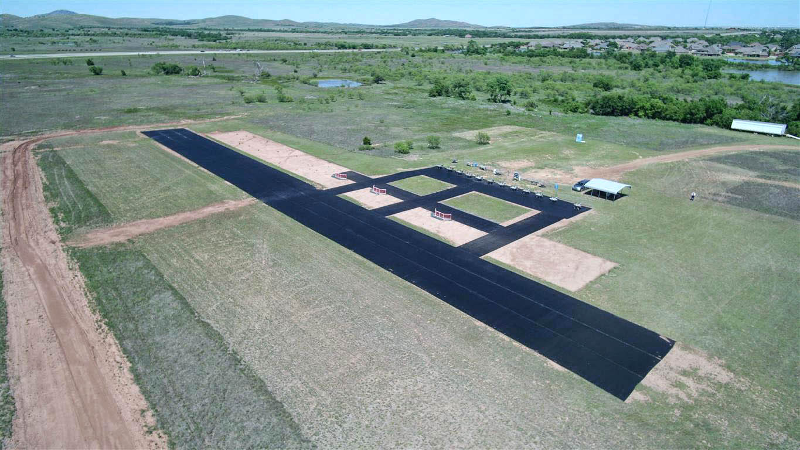
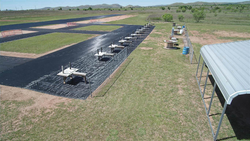
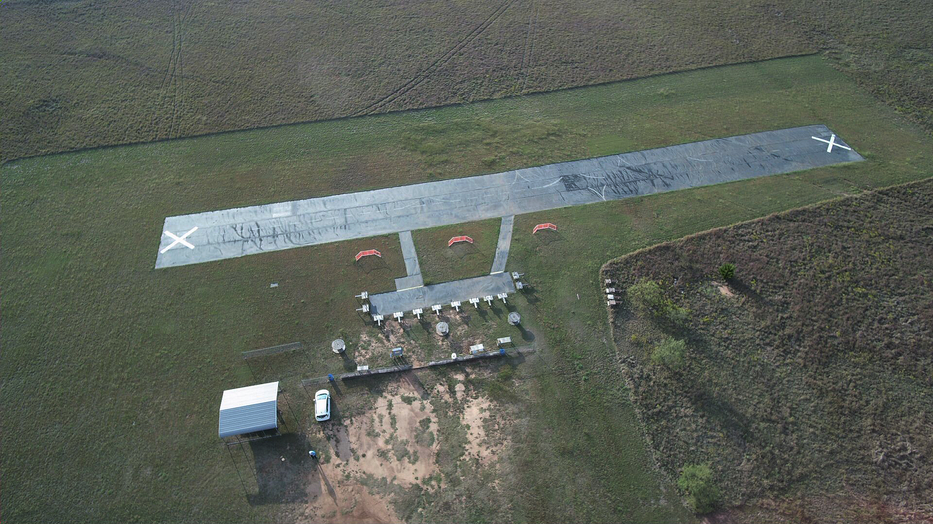
Here are aerial photos (by Clem Wehner) from May 2017 of our new runway and pits. The dirt work to the left is a berm to channel runoff water around the runway. The dirt patch to the right of the new runway is the location of the old runway fresh after removing the old fabric. The new runway is longer and smoother.
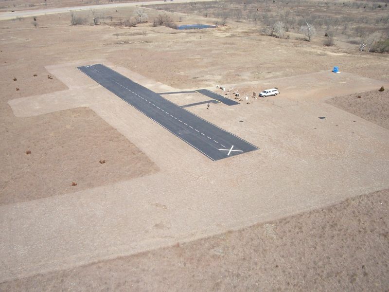
Here is an older aerial photo (by Clem Wehner) before our new runway installation. It is taken from the east side of the field looking west.
Here is an old aerial photo from the south end of the field looking northeast. Highway 62 is visible at the top left of the photo. Many improvements have been made since this photo was taken, such as starting stands and a shaded sitting/picnic area as seen above.
